Assignment 2: Triangle Meshes + Transformations
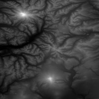
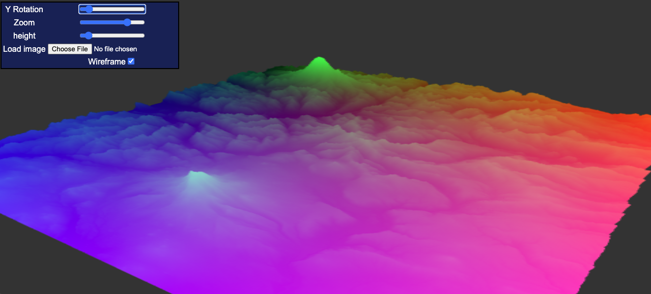
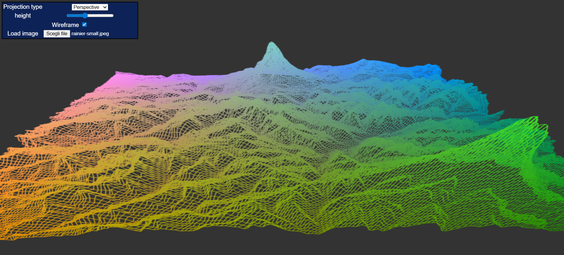
This assignment reconstructed a 3D terrain mesh from grayscale elevation maps (DEM), then rendered and navigated the mesh in WebGL. I implemented model-view transformations for rotate/zoom/pan, height scaling, projection switching, and wireframe mode.
Implemented Results
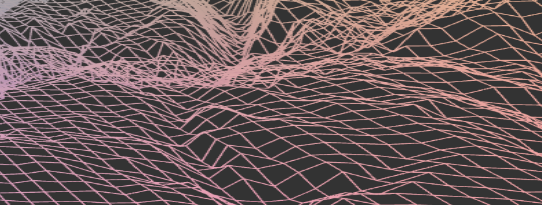
- DEM-to-mesh conversion with one vertex per pixel and triangle connectivity
- Perspective and orthographic projections
- Interactive rotation, zoom, and panning
- Height scaling and wireframe toggle
Output Samples
Live Demo
The demo below is fully interactive. Select a dataset from the dropdown (or choose None to reset).